
Location
CAPE YORK
Far North Queensland
What it is?
The Cape York Peninsula features landscapes of unsurpassed beauty and immense diversity, rich with Aboriginal traditions and customs and European history. Parks throughout the peninsula protect diverse landscapes including river systems, rainforests, beaches, grasslands and wetlands. Travelling in this vast and remote area requires detailed preparation and planning (The State of Queensland (Department of the Environment, Tourism, Science and Innovation) 2017–2024).
One of the best things I did at the start of this trip was buy a book – Explore Cape York: everything you need to know by T. K. Sands. I highly recommend this book as it tells you literally everything you need to know. https://explorecapeyork.com.au/shop/books/the-guide-book/.
(I am not affiliated with this book, or their website, it is just a fabulous resource that i found extremely helpful during our trip).
Best time to travel:
The wet season in Cape York is from December to April: roads can be impassable due to flooding and many attractions and facilities are closed.
Things to consider during the dry season:
- May
May can still be a little wet and some parks may still be closed, but it is quiet. There may be trees on the track and washouts due to flooding. Drive with care and take your recovery gear.
- June
June is a beautiful, cool and green. However, June/July school holidays tend to be busy (consider other state school holidays as well as Qld).
- August & September
Generally quieter, and wildlife can be more concentrated due to receding waters.
- October
It really starts to warm up, and many start to services shut down.
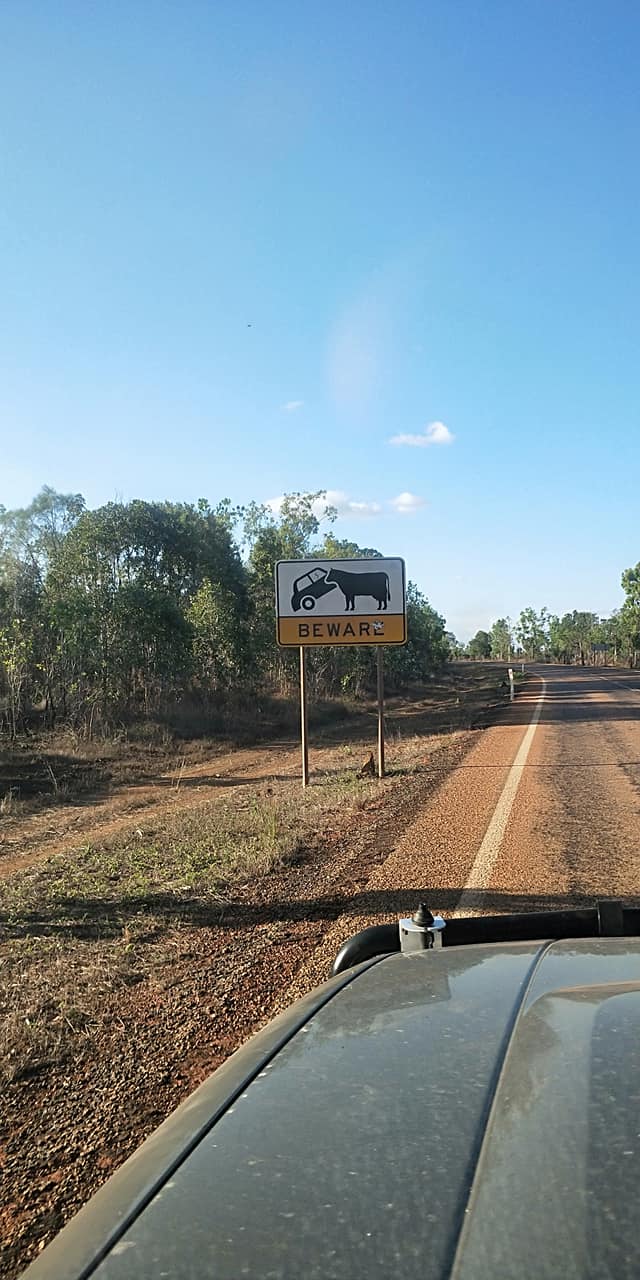
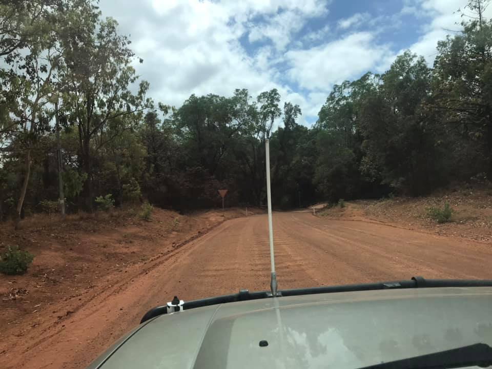
Roads
There are limited roads to reach the northern most tip of Australia (Pajinka): The Peninsula Development Road (PDR) and the Old Telegraph Track (OTT) are the two well known roads. The PDR becomes Bamaga Road, and Pajinka Road as you near the cape. The PDR is accessible by 2WD, 4WD, truck and the occasional caravan (Although i would not be taking my caravan up that road). The OTT is 4WD only and is a much slower and more adventurous track. The OTT was the only route to the tip until 1986. When the PDR opened, maintenance on the OTT ceased and it became a “Must do” 4WD track. A lot of the crossings have what is known as “chicken tracks” for those who don’t or can’t do the extreme side of the track.
When driving on the PDR there are a few things you need to do to be safe:
- Turn your lights on. When you’re surrounded in dust it makes it easier for others to see you.
- Let your tyres down. It reduces the bounce when on the corrugations.
- Tune your UHF radio to channel 40. So you can hear what’s happening around you, and let the car in front know when you want to pass.
THIS link will provide you with details on stations, roadhouses, fuel locations, detours and more.


What we did
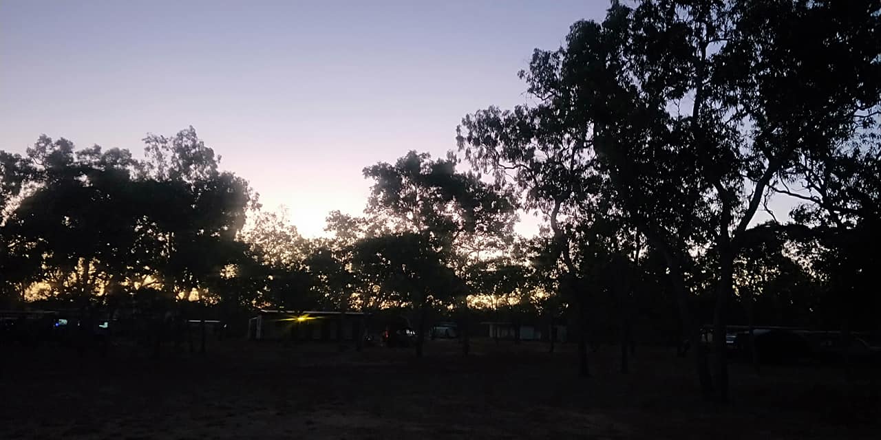
Our journey started in Cairns, where we were living at the time. We followed the National Route 1 through Kuranda up to Mareeba, then turned right onto the Mulligan Hwy. We stopped for our first night at a free camp in Mount Molloy (Rifle Range rest area). I hate to start this with a complaint, but there was one person there who decided to play horrid music really loud, ruining it for many people just trying to rest before the next days travel. Please be considerate of other people in public rest areas, you do not know what others are going through, or what they may have been through. If you want to listen to loud music, put your headphones on.
Stops along the next stretch included Bob’s Lookout and Palmer River Roadhouse. At Lakeland we took a left onto the PDR.We drove through Laura and onto the Hann River Roadhouse where we spent out second night. I was a bit dubious of the resident Emu, but he was totally harmless. This was a lovely relaxing spot to stop for the night. There was plenty of wildlife (peacocks, ducks, goanna etc.) walking around which was lovely to see. We were advised that there were crocodiles in the river there.
The third night was just past Coen at the Bend Campground. This was such a pretty spot. Please ensure you take only photographs and leave only footprints at ALL of these locations. You got to enjoy this area because those in front of you did the right things, so please repay the favour. The majority of cars crossed the river here to camp, but i did spot a camper or two on the road side of the river where they were set up for the night. If this is you, you can easily walk across the river and go for a walk should you choose to. It was a lovely spot for a swim after setting up camp.
The forth night we pushed to get to Weipa, i had thrown my back out before we got to Hann River, and i was in a lot of pain and wanted either a chiropractor or a hospital. All the bumps from the road ended up helping somehow and by the time we got there i could walk again, so we felt confident that the trip would continue. I don’t know that we would have gone into Weipa had it not been for me being in pain. We reached Weipa in time to watch the sunset over the water. We ended up staying two nights at Weipa which enabled us to drive to Mapoon the next day. After we got back to the campground, we were told that we should have stopped off at Red Beach, apparently there are often crocodiles are lined up along the beach sunning themselves.
The sixth night of our journey we stayed at Bramwell Station. If you don’t want to travel that far, there is another station along the route: Moreton Station is approximately 40 minutes south of Bramwell Station. We decided to attend the the dinner and entertainment night here, and i am glad we did. They were still following Covid protocols at that stage, so with a table full of food, items were served to each person as we went up table by table. The food was delicious and there was more than enough to feed the hungriest of travellers. While eating dinner (and after) live entertainment is provided; It was a fun evening and i do recommend stopping in as you pass through. For more INFO please see below under STATIONS.
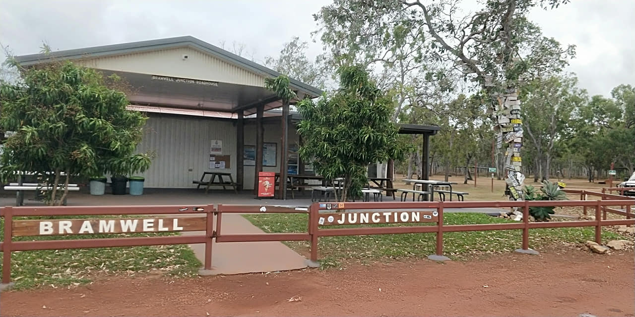
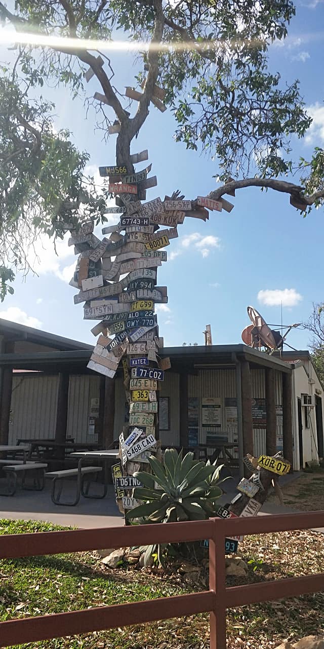
A short drive up the road is Bramwell Junction Roadhouse. This is where the start of the Old Tele Track (OTT) is. Food and fuel is available here before you take off. Please see below section for our journey through the OTT.
Once back on the main road, it was straight up to the Jardine Ferry Crossing. There was no petrol at the petrol station (luckily we still had plenty of gas), so be prepared, just in case. The cost for the return ferry was under $200 (2021) this was for a car and trailer (camper); the cost covers all of your non-commercial camping while at the cape. Please check the link provided for current fees and charges.
Injinoo was the first/next place that had petrol, a further 37kms north. It is a small Indigenous Community that has a pretty park on the ocean. We didn’t stay long as the goal was to get to the Seisia Caravan Park for the night. When we arrived at Seisia we finally had internet and phone reception and could contact our loved ones back home to let them know where we were.
The next morning we took the ferry across to Thursday Island. We spent the day out there on a tour and explored a little in our free time. It was interesting to see Green Hill Fort, and experience some of the local Art and culture.
The caravan park at Seisia had horses roaming through it so please don’t leave out any food that could be harmful to them. We were also told a story about some locals that ride horses through the campground during the night and steal what they can, jumping onto their horses and taking off in directions that cannot be followed by cars. I don’t know if the story is 100% true or not, but best to be sure to pack your camp up of an evening and keep you and your belongings safe, just in case.
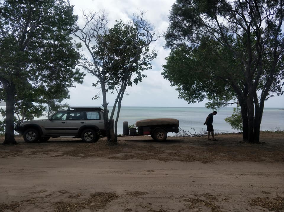
The following day we moved to Roonga Point where we free camped for two nights. You need to be fully self sufficient to camp there as there is nothing there but beach and bush.
After setting up camp we travelled back to the main road to drive up to the tip (Pajinka). We got there about an hour before sunset. We walked out to the tip and got the obligatory photos, then sat on the beach (and in the car once the bugs came) to watch the sunset.
The next morning we got up early to watch the sunrise on the east coast at Somerset lookout. It was really windy and the ocean was pretty rough, but it was still a nice experience. We then drove the Five Beaches (Nanthau Beach, Narau Beach, Saldogoo beach, Kilbie Beach, Congora Beach), a circuit track you can take along the east coast. You can see the extent of the rubbish being discarded into the ocean as you drive along this track; it was very sad and disheartening. We really need to do better people!
We checked out Jacky Jacky Creek and then drove down to Mutee Head and the Jardine River mouth. There were a few people camping down along the beach, if this is something you are interested in doing. Just before you reach Mutee Head, there’ll be another track off to the left beside a fenceline. At the top of the hill is Number 52 Radar Station, which operated for some two and a half years until the end of the war.
Using the book mentioned above, we tracked down the DC3 planes that had crashed in 1945. Other wrecks were inspected including the remains of a Bristol Beaufort Mk VIII and a Curtiss P-40E Warhawk. There is information in the above-mentioned book that will help you in locating these if it is something you are interesting in seeing.
We made it back to our camp at Roonga Point to watch the sunset on the west coast. There were a lot of bugs for the sunset, so we needed to sit in the car again. It was a really peaceful location albeit windy.
We spent two nights here before starting the drive back down south.
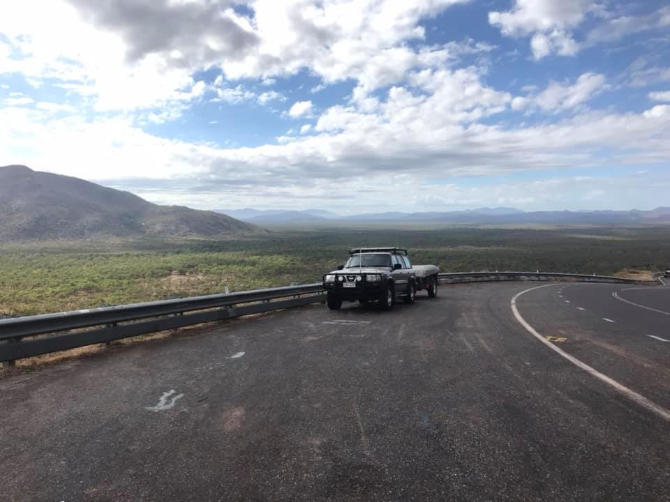
The trip back was much quicker than the trip up.
We drove straight to Bramwell Junction where we camped for the night, it was so good to have access to a washing machine and to be able to wash the sheets! From here we left the camper at the campground while we went back onto the OTT and had another quick look at a few spots. The next night was at Archer River. By this stage we were getting tired and weren’t overly interested in exploring. We were going to head through Rinyirru (Lakefield) National Park and into Cooktown from here, but Michael started getting nose bleeds from all the dust, so we just wanted to get to Laura as quickly as possible and get off the dirt roads. We spent the night here in a motel where we washed so much dirt off our bodies, it was really nice to be in a real shower.
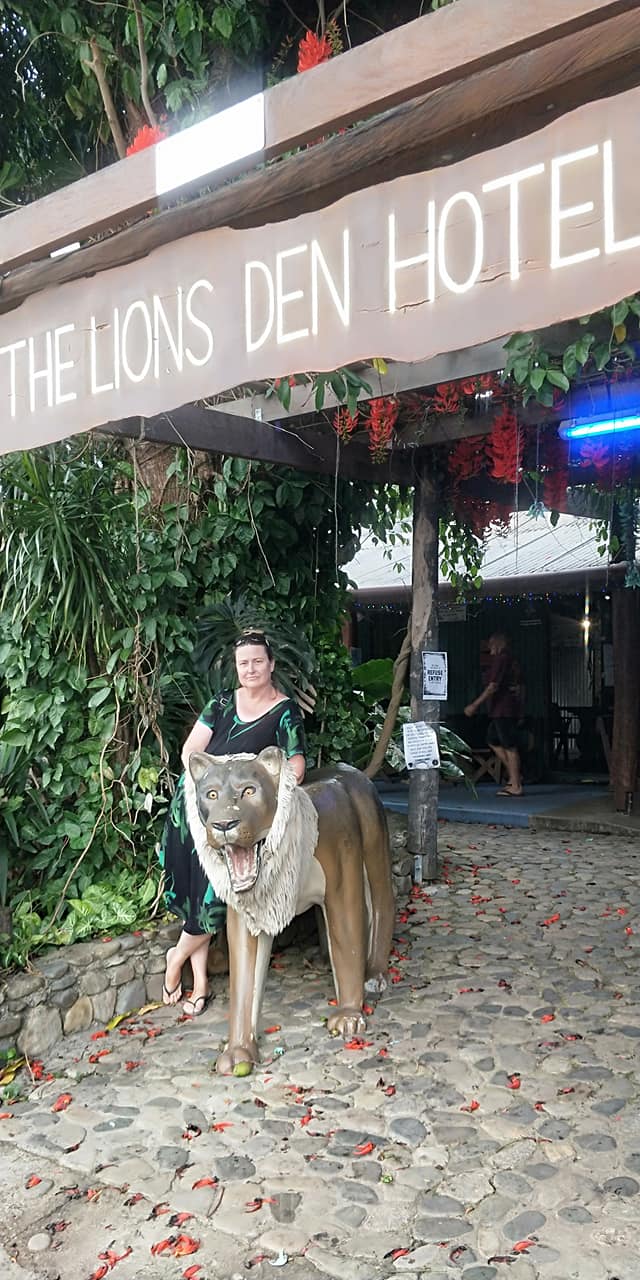
The next stop was Cooktown. This was just a quick visit, we went to Grassy Hill lookout and the Botanical Gardens, had a quick look through the Museum and then we were back on the road again. We spent the night at the Lions Den. This is a nice location next to a river; they had flushing toilets and hot showers, and they served food which meant no cooking! This was ticking a lot of boxes for the end of a trip. Our next stop was at Cow Bay where Michaels uncle has a property, by this stage the temperature had cooled and it was raining consistently. We now just wanted to get home. We did end up doing a night at the Daintree about a year later, so we did end up getting to explore the area a little; there are some nice boardwalk walks and the beach is beautiful.
Arriving back at Cairns the first thing we did was drive through a drive through carwash. After resting for a day and unpacking the car, it ended up taking a full day to clean the car and trailer, and we were still finding red dust over the next few years! Definitely a trip to remember.


Daintree and the Bloomfield Track
This region is half way between Port Douglas and Cooktown.
Things to do in the area include:
- Horse ride on the beach
- visit Bloomfield Falls and Wujal Wujal falls
- The Daintree Entomological Museum showcases Butterflies and Beetles – 15kms S of Cape Tribulation.
- visit Cow Bay and a couple of other pretty little beaches.
They were upgrading the track when we drove through the first time, you will be glad to know that the Bloomfield track is now a cement road.
If you want to travel this direction but are after something more adventurous, you can 4WD the CREB track visiting the Roaring Meg Falls, Dawnvale Station and China Camp. No camping allowed along the CREB except at Meg Falls.


Old Telegraph Track
Bramwell Junction Roadhouse is the start of the Old Tele Track (OTT), Make sure you fill up before heading off. We drove out to Palm Creek where i was surprised by the drop down into the creek. Silly me had no idea what i was in for as i had not watched any videos or researched the OTT at all. This was Michaels bucket list trip and i was just being supportive.
Michaels 4WD does not have a snorkel, so we backtracked and came back through the Heathlands Ranger Station so that we could go and watch some cars get through Gunshot. While we were there only one car went through and Michael missed it as the car got a flat tyre and he was changing it. Long story short, the jack we were carrying failed and we needed to get help from passer-by’s to change the tyre, so what seemed like an easy job ended up being not so easy and took ages in the heat of the day. Note – check all equipment is in working order before leaving for a Cape trip!
We spent the next night at Cockatoo Creek. The car in front of us at the crossing helped us with getting across once they were through, we ended up camping together for the night. It was a nice little camping area, but i wouldn’t stay there for more than one night.
There is a small section of the PDR that you need to travel on in between the southern end of the track (above) and the northern end of the track (below).
The next part of the track sees you visiting Fruit Bat Falls and Eliot Falls (beautiful, make sure you have a swim, or at the very least, stop for a look at the falls). The next stop was Sam Creek, it was a really nice spot to stop for the night. The water was crystal clear and nice and refreshing. You camp at the top of the hill and you can walk back down to the water. Another must stop for a swim locations. The next morning we drove along the track a little without the camper to see how much further we could go, we made it to to Cannibal Creek crossing where the water was just too deep to cross without a snorkel.
From here we needed to back back to the PDR and travel the long way back to Nolans Brook Creek. This is a really beautiful location and if we had more time, we would have spent the night here. The water was crystal clear and beautiful for a swim. We saw 4 cars go through and no-one got stuck. One was close to being stuck until about 6 men jumped in and helped out and get the car safely out. Luckily they had connected the recovery straps prior to attempting the crossing.
From Nolans the trip was back out to the PDR and up to the Jardine Ferry Crossing.


Creek crossings
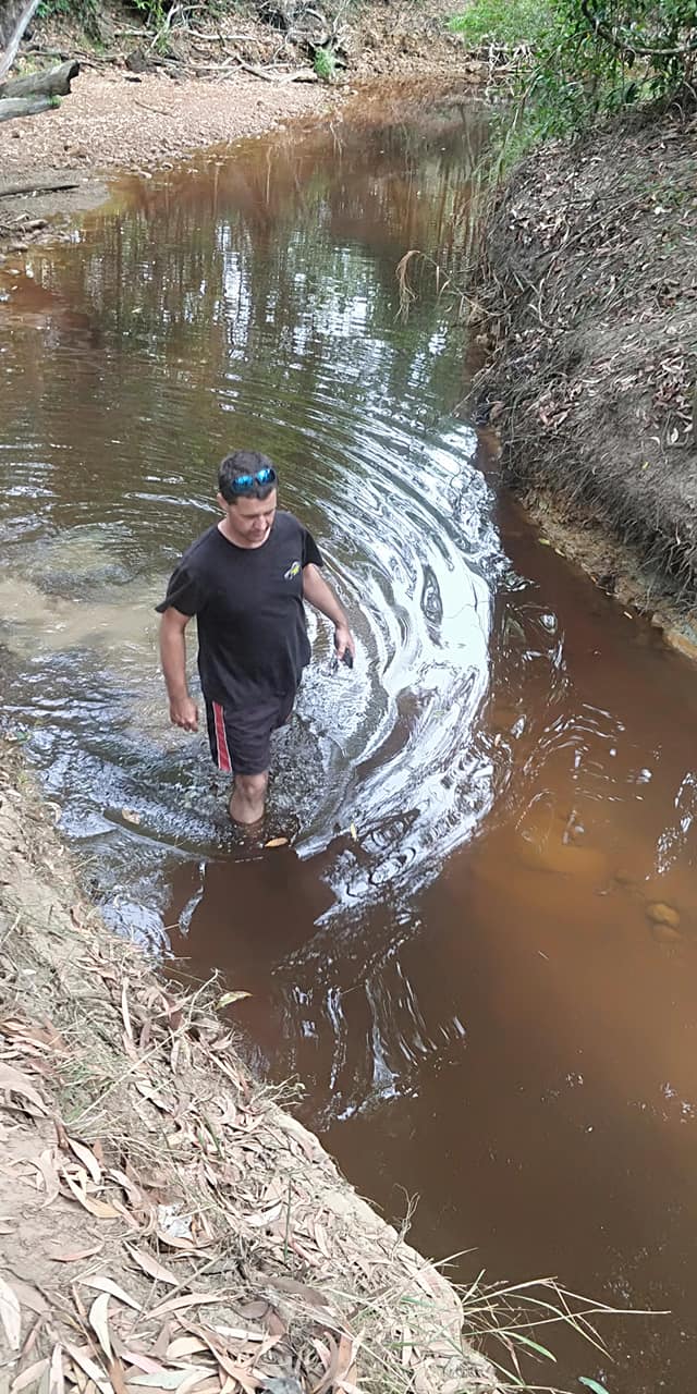
Check all creek crossings before driving through. There could potentially be debris, or a crocodile.
Along there OTT there are car body parts everywhere, this could also be the case in water crossings too, the force of the water ultimately releasing a part that was just hanging on. Spending a minute checking the water before crossing could be the difference between making it to the tip, or having to be towed out.
The OTT is approximately 200 kms from Bramwell Junction to the Jardine River Ferry. The OTT is best travelled from south to north, there are very few passing opportunities and entry and exits of the creek crossings are much easier in this direction.
The southern OTT includes:
Palm Creek – the first of the challenges it is a steep and narrow descent into a mud hole with clay side walls. Chicken track available.
Ducie Creek – straight forward with a firm bottom.
South and North Alice Creeks – easy to negotiate, you might not even notice you have crossed Alice Creek.
Dulhunty – easy crossing, creek has crystal clear shallow water and a hard rocky bottom. Space available for camping.
Bertie Creek – the widest of the creeks, it has a rock bottom with big holes so check route before crossing. Some of the rocks may have sharp edges, so drive carefully through this one and try to follow the tracks of those before you. Best to drive the hard rock bank and make a sharp dogleg left.
There is a bypass track shortly after Bertie Creek which will take you back to the Bamaga Road. It is well signposted, so you won’t miss it.
Cholmondeley Creek – shallow creek with a sandy bottom
Gunshot Creek – a near vertical 3 metre drop into the creek. There is a chicken track here. Check the depth of the creek before crossing.
There is a bypass track after the crossing that will take you back to Bamaga Road.
Cockatoo Creek – walk through the creek to find your path across, room to camp on the other side. Pay attention to the crocodile warning signs as there have been reported sightings. I have heard the toilets here are new eco-loo’s, they were not really usable when we drove through.
Sheldon Lagoon – walk through to check for any deep wheel ruts.
Sailor Creek – do not take the bridge as it is no longer stable. It is an easy crossing with a dogleg before exiting.
The northern OTT includes:
Fruit Bat Falls – day access only – waterfall and swimming holes that are believed to be croc-free!.
Scrubby Creek – there are two crossings here, a steep drop into the creek, or a short causeway crossing. Check the depth before crossing.
Eliot & Twins Falls – this is a must see location, you need a permit to camp here. Swimming here was great so try and allow time for a dip.
Canal Creek – a couple of different crossings here, pick between sandy or rocky. Check which exit looks best for exit before entering. Camping available on both sides of the creek. Water here can be deep.
Sam Creek – a couple of different options for crossing this creek as well. Choose again between sandy or rocky. Do a walk through and check the exits before entering the creek. The right track has been known to take out some rear bumpers with its steep drop off.
Mistake Creek – bit of a steep drop, bank gets more eroded as season progresses, water is generally shallow, check the exit for your direction before entering the water.
Cannibal Creek – two entry points. The first is a harder bottom than the second. The second option can be difficult if you have a camper attached as there is a hard right to take when in the water. Be sure to check the drop off. There is a bit of a climb out, so ensure diff lockers are locked after exiting.
Cypress Creek – the old log bridge crossing. New logs are put on top of the old ones and over time the bottom ones disintegrate, check the bridge before crossing, then line yourself up to cross.
Logans Creek – this one has two entry points – the shorter route is a lot deeper than the longer one. Do a walk through to check depth first. The exit gets trickier as the season progresses.
Nolans Brook – a lot of cars have travelled here to die. Before driving in it is advised that snatch straps (recovery straps) are attached, it is much easier to attached before entering the water. Generally a bit of a audience here on the northern side, don’t be afraid to ask for someone to be ready to pull you out, just in case. As with the other creeks, it is advised to walk through first. The sandy bottom is soft. The water can be up to 1.5 metres deep.
From Nolans, it is an easy drive back out to Bamaga Road and up to the Jardine Ferry.
There were a few creek crossings we did not do due to the fact that we did not have a snorkel on the vehicle we were driving: Cannibal Creek (it was too deep); Cypress Creek; Logans Creek (Cyress and Logan are in between Cannibal and Nolans); and on the southern section, we did not go to Cholmondeley Creek (we took the bypass road after Bertie Creek and detoured in via the Ranger station so we could backtrack back to Gunshot).
Our favourite crossings/camping areas were Sam Creek and Nolans and if we had more time, it would have been lovely to spend another day or so in each location.


Cooktown
We only spent about 3 hours in Cooktown: we needed a chemist as Michaels nose was still bleeding on and off, and we quickly checked out the lookout, beach and museum. It was nearing the end of our trip and with Michael not feeling the best, we weren’t up for much adventure.
There is plenty to do there and below is the list of things we were planning on checking out:
- Endeavour River Cruises – Glass bottom boat and Dinghy hire
- Charter fishing tours
- Cooktown Bowls club
- Nature powerhouse at the botanic gardens
- Guurrbi Tour – Indigenous Tour and rock art ($65pp)
- Vera Scarth-Johnson -Botanic Art Gallery
- Charles Tanner Wildlife of Cape York Qld Museum Exhibition
- James Cook Museum
- Milbi Wall – 12m long wall – Charlotte St
- Archer Point (20kms S) ruggered and windy headland with a small lighthouse and great views (4WD).
- Trevethan Falls close to Mt Amos (4WD only) head S on main rd for approx 17kms, turn towards the coast on Mt Amos Road, after approx 8kms turn S onto the access Rd marked with a homemade sign “falls”. Further 4kms then a couple hundred metres walk to the falls.
- Black Mountain National Park
- Lion’s Den Hotel and campsite
- Grassy Hill Lookout
- Botanical gardens – a couple of walks from here.
- Cooktown History Centre
- The Rim Scenic walk – brochure from info centre
- Cemetery and Chinese Shrine – brochure and map from info centre
- Annan River (Yuku Baja-Muliku National Park)
- River of Life walkway
Stations
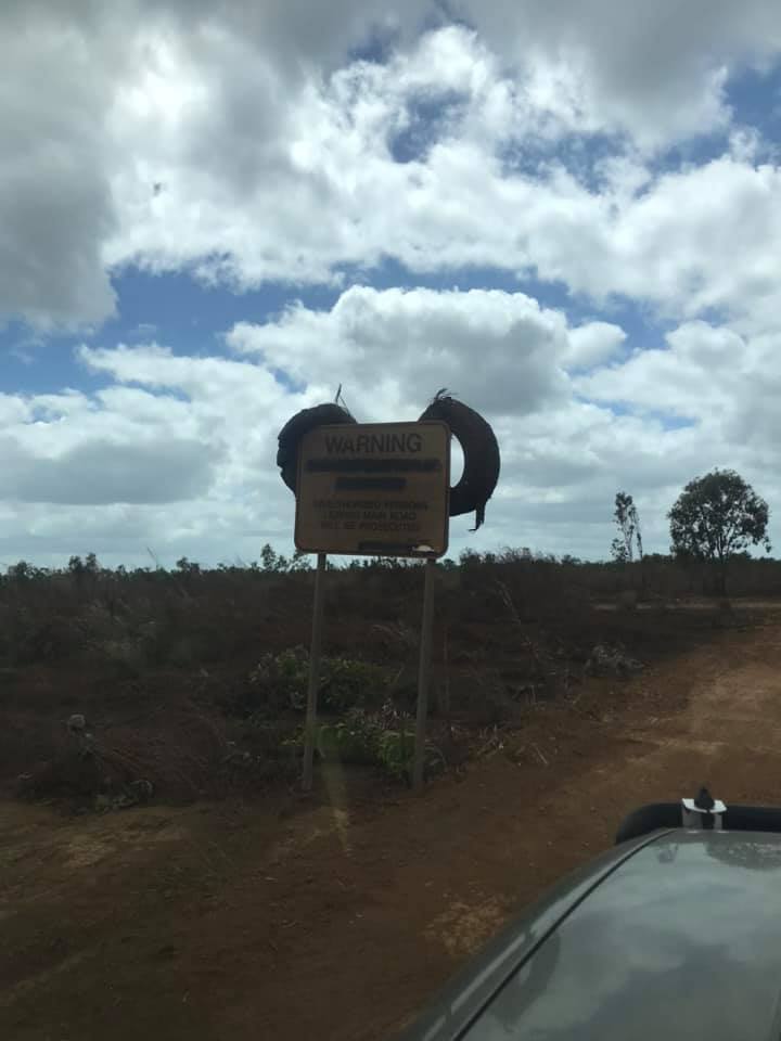
Bramwell Station
Look for the big white tyres on the right hand as you head north. It’s 6km south of Bramwell Junction. Turn right at the tyres and it’s another 6km to the Park.
Bramwell Tourist Park is on Bramwell Station which a 1330 square kilometre working cattle station.
It’s open from May to October with meals and live entertainment each night.
- offering: Meals; Licensed bar; Showers; Toilets; Cabins; Caravan and camping sites; Campfires allowed; Caravans/Campers can be stored wile you explore the OTT; Water; Dogs allowed; Live Entertainment.
Moreton Telegraph Station
It sits on the bank of the Wenlock River which flows all year round.
For more information check out their website.
- offering: Grocery items (limited); Powered and unpowered camp/caravan sites; Toilets and hot water showers; Campfires allowed (in pits only); Dogs allowed; Wi-Fi available; Walking tracks; Throw a line in the river; Bird watching; A small museum showing the history of the station.
Merluna Station
On the way to Weipa and 33km from the ‘Y’ you’ll find Merluna Station.
You need to head through the working cattle station for 8km until you reach the homestead.
The owners Michelle and Cameron are working hard to make it environmentally friendly and sustainable.
- offers: Drinking Water; Cabins & Donga Rooms; Caravan accessible; Camping; Camp kitchen; Toilets; Showers; Wi-Fi.
A 331,000-acre cattle station established in 1873 during the Palmer River gold rush:
- offers activities like fishing, fossicking for gold, 4×4 adventures, and exploring ancient cave paintings.
Wolverton Station: A cattle station
- offering camping spots, glamping, freshwater creeks, and off-road tracks.
Fairview Station: A station with cabin accommodation located 20 km northwest of Laura on the Peninsula Development Road.
Olive Vale: A station with cabin and tent accommodation located on the Laura River.
Koolburra: A station with camping located 65 km north of Laura on the Peninsula Development Road.


Would i do it again?
100%
What do you need?
As a couple: Pre-downloaded maps on your phone (reception is patchy); plenty of water; wide brim hat: sunscreen; bug spray; water shoes; swimmers and towels (BE CROC WISE).
With Kids: water; snacks; wide brim hat; sunscreen; bug spray; good sturdy shoes.
With Pets: There were a lot of travellers with their dogs.
Be aware that there are a lot of crocodiles in FNQ.